Submitted by Thurston County
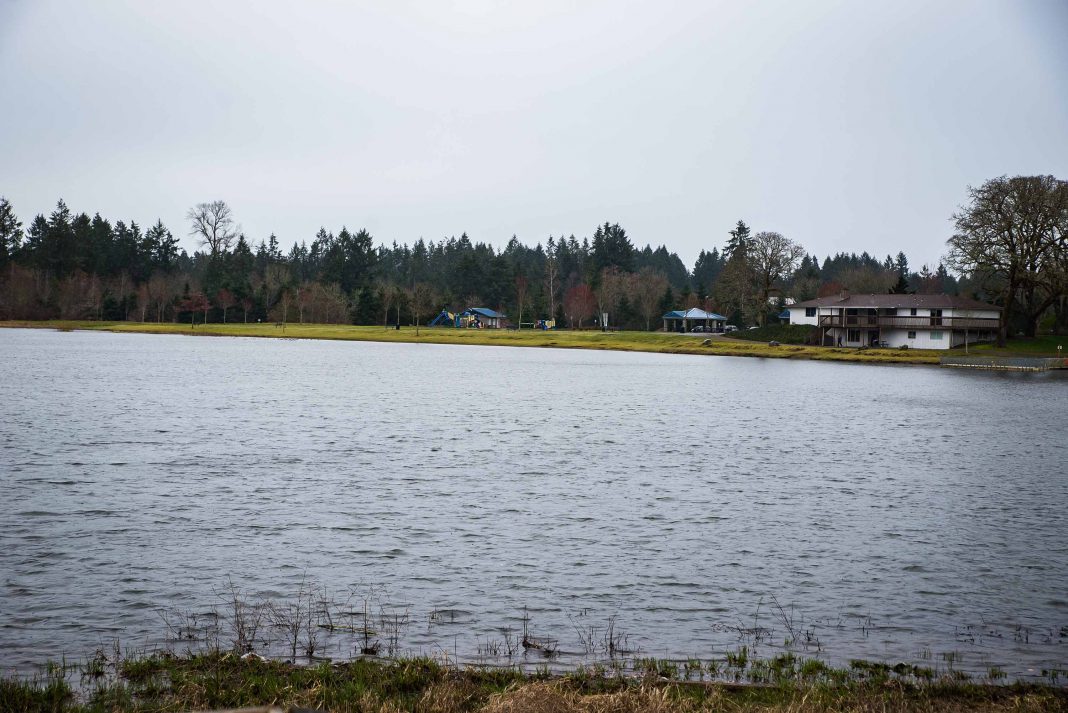
A new flood study will give Thurston County property owners living on lakes better information to help them determine priorities and take steps to reduce safety and property risks from flooding.
Field surveyors contracted by the Federal Emergency Management Agency (FEMA) will be collecting water elevation data from up to 40 lakes in Thurston County over the next several weeks.
Thurston County supports this study, which will ultimately help protect residents and their property. Property owners can help by providing safe and proper access to the survey crews. Surveyors will work during daylight hours any day of the week, staying mostly on public land and rights-of-way.
Surveyors may need to briefly access privately owned property to gather information on stream channels, bridges, and culverts. Property owners will be contacted in advance and asked for their permission for survey crews to enter private property. The only information collected will be related to flood risk.
FEMA flood risk mapping provides vital information for determining fair flood insurance rates. The county’s flood planning and risk reduction efforts and participation in FEMA’s flood insurance program allows property owners in unincorporated areas of the county to receive discounts on their insurance rates of between 10 and 40 percent.
For more information about the county’s flood programs, visit https://www.co.thurston.wa.us/planning/natural-res/natural-flood.htm.
Residents can also sign up to receive flood alerts delivered by text, voice message, or email at https://www.co.thurston.wa.us/em/Alerts/index.htm.


