


Thurston County is home to a large, active community and thus offers many options to pedestrians and bikers for travel and exercise. There is a vast system of bike trails, as well as sidewalks and bike lanes featured on many major roadways. Along these trails you will meet bikers, runners, walkers, and even some horses.
Jeff Orlando, an avid cyclist and recent transplant from San Diego, said he thinks the trail system is “fantastic.” Orlando said he biked a lot in San Diego, and although he is new to the area has enjoyed his experience with the trails here so far.
![]() The trails that travel along or across roadways are outfitted with large lanes and electronic crosswalks to insure safety. This makes for a great family outing, with many of the trails allowing access to some of the county’s most popular destinations.
The trails that travel along or across roadways are outfitted with large lanes and electronic crosswalks to insure safety. This makes for a great family outing, with many of the trails allowing access to some of the county’s most popular destinations.
Here is a list of three prominent trails that are open to bicyclists and pedestrians:
1. Chehalis-Western Trail

The Chehalis-Western Trail is a 22-mile bike trail converted from the old Chehalis Western Railroad. The trail is paved and open to bicyclists, pedestrians, and equestrians.
The northern trailhead is located at Woodard Bay Conservation Area. From there, the trail runs south to the junction of the Yelm-Tenino Trail. The trail also has entrances at Chambers Lake, Yelm Highway Pedestrian Overpass, 67th Avenue, and Fir Tree Road, according to the Thurston County website.
This trail offers views of Thurston County’s urban and countryside environments. The trailhead at Woodard Bay has access to a pedestrian-only half-mile scenic loop of the bay and much of the multi-use trail runs through wooded and wetland areas.
The Chehalis-Western Trail is also used by equestrians, so be careful to watch out for horse drawn carriages. In the future the trail will be connected to a 48-mile trail system, according to the county website.
The Chehalis-Western Trail also has a junction with the Woodland Trail and I-5 Trail along the Olympia-Lacey border. It features a roundabout, decorative compass and light fixture, and a large map of the trails.
2. Woodland Trail
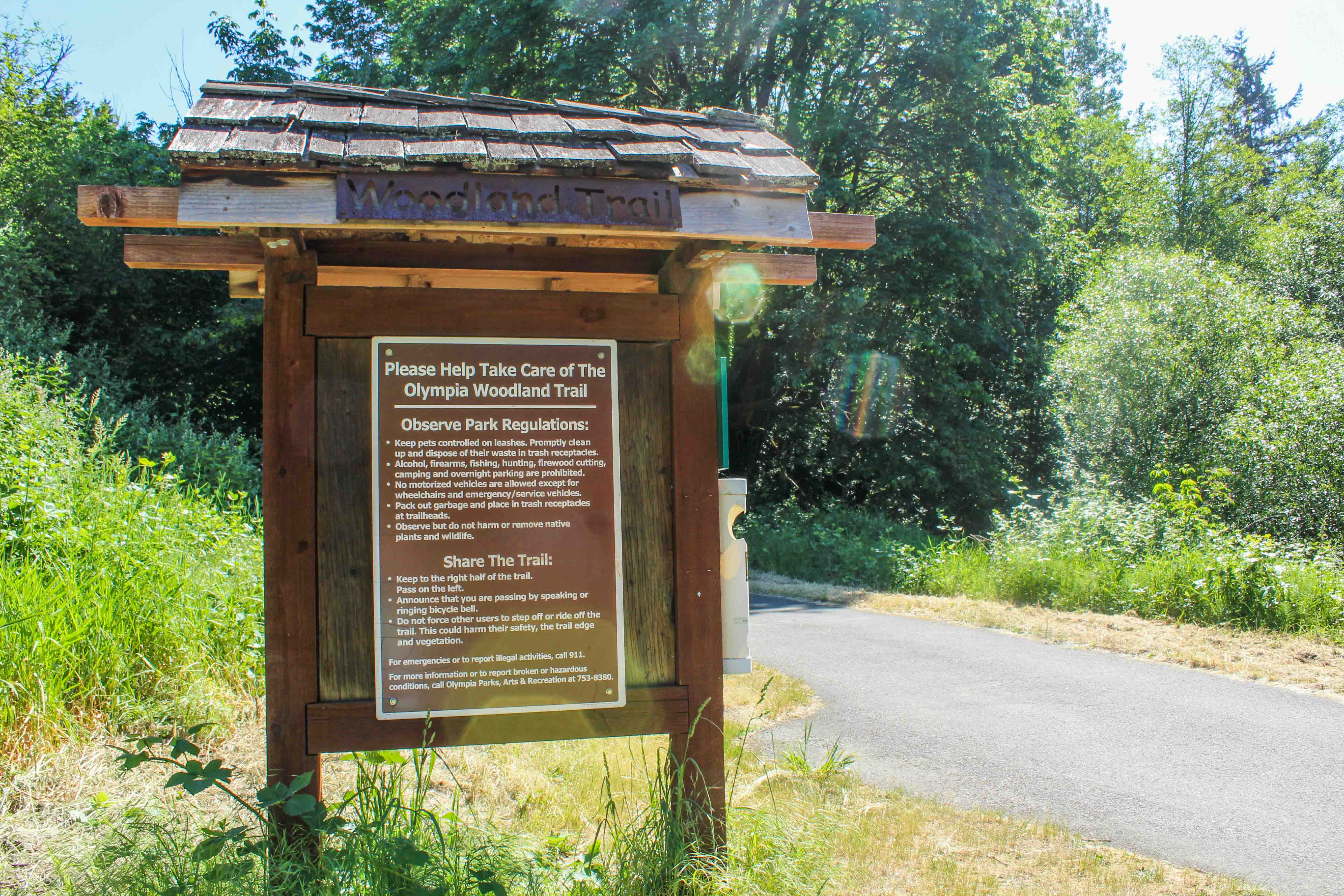
The Woodland Trail is 4.7 miles of paved trail converted from the Northern Pacific Railway tracks. The Lacey portion of the trail is 2.2 miles long and runs from the Chehalis-Western Trail east to downtown Lacey and the Woodland Creek Community Park. Two and a half miles of the trail are in Olympia and run from the north entrance of Watershed Park at Eastside Street SE to the junction of the Chehalis-Western Trail.
The Olympia trailhead at Eastside Street SE has bathrooms and a covered area for trail users beginning and ending their route. The trail features some mild hills and is surrounded by indigenous shrubs and trees.
A section of the Lacey trail runs along Pacific Avenue and requires stops at traffic lights and navigation through roundabouts. Be especially careful with small children.
At the roundabout intersecting Lacey Boulevard and Pacific Avenue there are two coffee shops that offer a convenient stop for bikers to grab a quick drink or snack. The Coffee Bean is a drive-thru coffee shop with a wide selection of coffee and other drinks, while Cutter’s Point offers indoor seating for bikers with more time to stop.
The trail continues through wooded area, Woodland Creek, and Longs Pond. The trail ends at Woodland Creek Community Park. The park has playground equipment, disc golf, and is a great place to stop for a picnic.
3. I-5 Trail

Another useful trail is the I-5 Trail/Bikeway. The paved trail travels parallel to I-5 for three miles from Saint Martin’s University at Exit 109 to the Olympia Capitol Campus.
This gives bike commuters a safer and more expedient intercity route to and from Lacey and Olympia. The route travels through downtown Lacey and crosses a bridge above I-5, giving a scenic view of the highway.
The trailhead in downtown Olympia is only a few minutes ride from the state capitol, another great spot to stop with the family. And just on the other side of the capitol campus is Meconi’s Italian Subs on Capitol Way S. The sandwich shop is a local favorite and in a convenient location near the capitol building. Outside of the restaurant there is a bike rack as well. Just make sure you bring your lock to keep your bikes secure while you eat.
For more information and a detailed map of Thurston County’s trails, visit the Thurston Regional Planning website.


